- A winter storm will bring snow, ice, rain, and severe thunderstorms across 1,300 miles of the U.S.
- The storm will impact the Plains to the East Coast, starting Saturday through Monday.
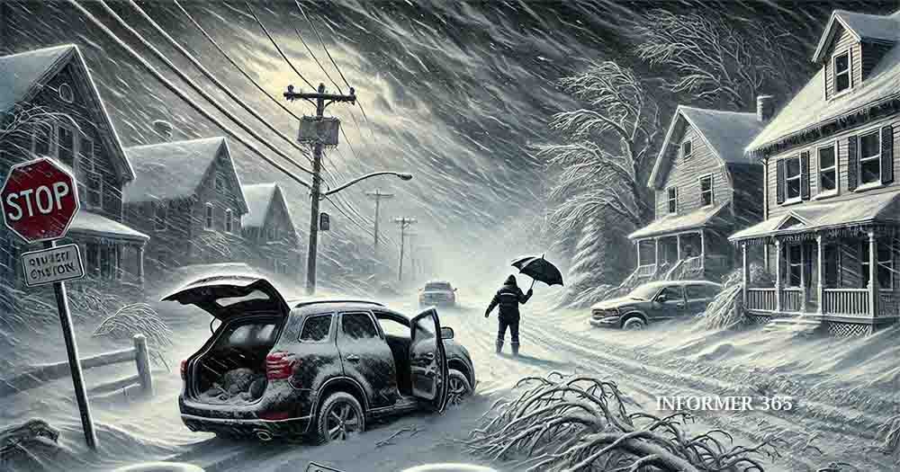
- Significant disruptions include dangerous travel conditions and power outages due to heavy ice.
- Severe thunderstorms are expected in southern states, with potential for tornadoes and flooding.
- Arctic cold will follow the storm, plunging temperatures 30°F below normal.
A powerful winter storm is poised to affect more than 1,300 miles of the United States this weekend, creating hazardous conditions from the Plains to the East Coast. Starting Saturday afternoon, the storm will deliver heavy snow, dangerous ice, and severe thunderstorms, impacting millions.
The storm’s trajectory and intensity could result in “considerable disruptions to daily life, including dangerous driving conditions and widespread closures,” according to the National Weather Service (NWS). Experts predict significant travel delays and power outages in many areas.
Storm Path and Timeline
The storm will form in the Plains on Saturday, fueled by moisture from the Gulf of Mexico. Snow, rain, and ice will spread across the Plains late Saturday before reaching the Mississippi Valley and Midwest by Sunday morning. By Sunday night, the system will expand into the Ohio Valley, Southeast, and East Coast, persisting through Monday.
Snowfall and Icing Risks
Heavy snow is expected in colder regions, particularly Missouri, Illinois, Indiana, Ohio, and West Virginia. These areas could see snow accumulations exceeding a foot. In St. Louis, forecasters warn this could become one of the snowiest days in the city’s history.
However, areas like Minnesota and Upstate New York will experience little to no snow due to the storm’s southern trajectory.
Significant icing will occur just south of the snow zones, including parts of Kansas, Missouri, southern Indiana, and Kentucky. Ice accumulations of 0.25 inches or more could snap power lines and immobilize travel. The NWS warns that even light icing can create treacherous road conditions.
Severe Thunderstorms in the South
While northern states grapple with snow and ice, southern regions will face severe thunderstorms. On Sunday, storms with damaging winds, hail, and isolated tornadoes will affect Texas, Louisiana, Arkansas, and Mississippi. Flooding is also a concern, particularly in areas already saturated by heavy rain.
Once the storm exits the East Coast late Monday, an Arctic blast will bring frigid temperatures. The eastern two-thirds of the U.S. will experience temperatures up to 30°F below normal. This extreme cold could exacerbate the challenges posed by power outages in ice-affected regions.
Impacts and Safety Measures
Authorities urge residents in affected areas to prepare for the storm by securing supplies, avoiding unnecessary travel, and staying informed through trusted weather updates. Emergency services and power restoration crews are on standby but face challenges navigating icy roads.
In the South, residents should monitor weather alerts for severe thunderstorms and potential tornadoes. Communities still recovering from December’s storms may face additional hardship from this system.
In Conclusion, As this massive winter storm approaches, millions across the United States must brace for dangerous conditions ranging from heavy snow to severe thunderstorms. The storm’s wide-reaching impact underscores the need for preparation and vigilance. With Arctic cold to follow, this event will likely remain a significant weather story well into January.


