- Over 46 million people at risk of tornadoes, heavy rain, and hail.
- Historic rainfall expected, with up to 15 inches in parts of the mid-South.
- Arkansas faces “large and destructive” tornado; widespread damage reported.
- Major airport delays across the US due to storm impacts.
- States of emergency declared in Kentucky and Arkansas as the storm worsens.
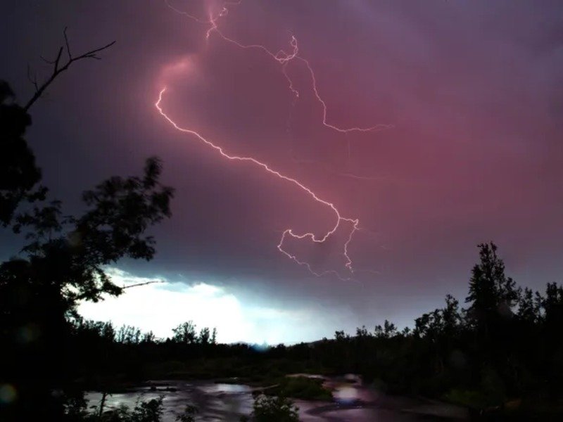
A powerful spring storm is moving across the central US, affecting over 46 million people. Forecasters have issued warnings for severe weather, including tornadoes, hurricane-force winds, large hail, and heavy rain. This storm could bring months of rain, triggering flash floods and possibly record-breaking tornadoes.
The National Weather Service (NWS) has warned of severe threats in the mid-South, especially Arkansas, Tennessee, and Kentucky. Arkansas Governor Sara Huckabee Sanders declared a state of emergency after a “large and destructive” tornado hit Lake City, causing widespread damage.
Destructive Tornadoes and Power Outages
The storm has caused major damage in Missouri, Illinois, and Kentucky. The NWS reports over a dozen tornadoes, some damaging homes, vehicles, and infrastructure. In Vernon County, Missouri, one tornado overturned semi-trucks and train cars along I-49.
Power outages have hit hard, leaving over 480,000 homes and businesses without electricity. Indiana saw the worst, with 178,000 customers affected. The storm also caused significant flight delays at Chicago O’Hare and Dallas-Fort Worth due to heavy rain and high winds.
Record Rainfall and Flooding
The storm is bringing catastrophic rainfall. Some areas might see up to 15 inches by Sunday. Experts call it a once-in-a-generation event, as the NWS says such rainfalls happen once every 25 to 100 years.
Flooding is expected to cause major problems, especially in the Ohio River region. Rising water levels could cause significant damage. Kentucky, Tennessee, Missouri, and Mississippi may face rapid river level rises, worsening the situation.
As the storm gets stronger, Arkansas and Kentucky declared states of emergency. Kentucky Governor Andy Beshear urged residents to take it seriously. He advised them to prepare emergency kits and find shelter from winds, hail, and tornadoes. “This is a four-day event, and it will continue through Saturday,” he said.
The National Weather Service in Memphis issued warnings about the storm’s potential for widespread disruption. They urge residents to prepare for both river and flash flooding. The NWS emphasized that this is a rare, high-impact event, not a routine storm.
The storm’s effects have reached far beyond the central US. In Oklahoma, a suspected tornado caused damage in Owasso. Buildings were destroyed, trees uprooted, and utility poles toppled. Fortunately, no injuries were reported. Schools in northern Plains states closed or switched to virtual learning.
Where Is the Storm Headed Next?
The storm is moving east, bringing more tornado risks and heavy rainfall. In fact, the Ohio River region can expect the heaviest rain, with forecasters warning of “catastrophic” flooding.
Meanwhile, the storm continues to affect millions across the central US. As tornadoes, heavy rain, and flooding threaten communities, residents must stay alert. Therefore, it’s crucial to prepare emergency kits and follow updates.
Moreover, disruptions will likely continue at airports. The storm is moving toward the Great Lakes and northeast US. As a result, stay informed and take precautions, as this storm could cause historic damage.


